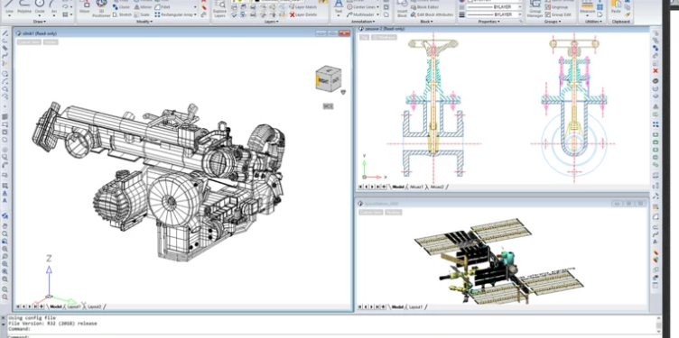
Bring point clouds, ESRI shapefiles and DGN into DWG, then send the result to Google Earth as KMZ. Lifetime license or Rent to Own, with Lana AI included.
Attach point cloud data to your drawing and draft on top of the scan.
Work with ESRI SHP files and export KML/KMZ for Google Earth.
Import and export DGN (MicroStation) and attach DGN underlays next to your DWG.
Find empty title block fields, old dates and objects on switched-off layers before a plan leaves the office.
12 monthly payments, then ArionCAD is yours for good. Ask for your plan.
Pay once, keep using your version. No subscription.
Yes for surveyors who deliver in DWG. ArionCAD supports point clouds, ESRI SHP files, DGN import and export, and KML/KMZ export for Google Earth, with a lifetime license.
Yes. ArionCAD imports and exports DGN and can attach DGN files as underlays.
Your customers are tired of paying for CAD every year. Offer them ArionCAD: a lifetime DWG license, Rent to Own and Lana AI in one product, with partner pricing and licenses delivered by email.
We send a quote and pro-forma invoice for bank transfer, usually the same working day.
Ask anything about ArionCAD. We reply by email, usually the same working day.